
Maps of Bowling Green, KY
Here are maps that may be useful as you plan your trip to Bowling Green:
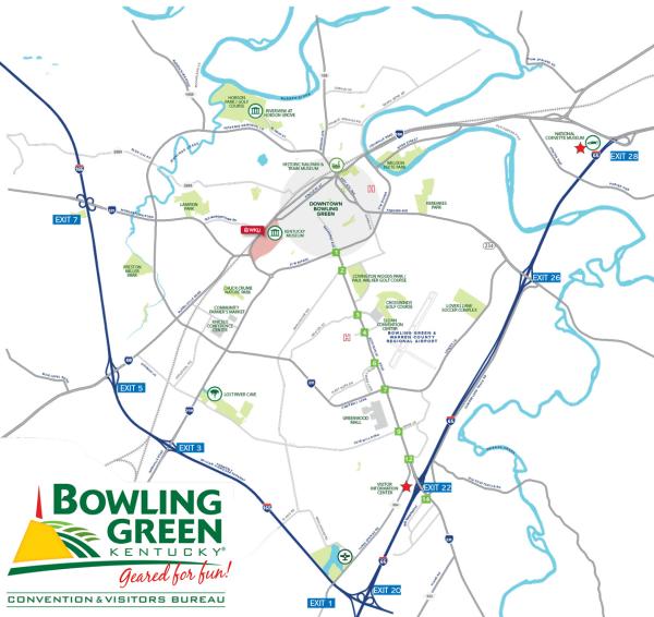
- Bowling Green Area Map (11x17 Map with city on one side, county on reverse)
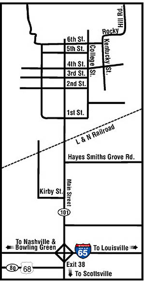
- Downtown Smiths Grove
- Downtown Bowling Green

Kid Friendly
Simulator Saturdays
Simulator Saturdays will put people of all ages, 7 and up, in the pilot seat of a flight simulator. Events will be…

Festivals
SOKY Fair
The SOKY Fair will be held from July 21st - July 26th, 2025 @ the Southern Kentucky Fairgrounds! Experience…

Kid Friendly
Bowling Green Hot Rods vs Aberdeen IronBirds
Bowling Green Hot Rods Professional Minor League Baseball... Fueled by Fun! Come watch the Hot Rods take on the…

Music & Entertainment
Cocktails & Trails
Get tickets for a fun night where friends and nature meet at Cocktails & Trails. Drinks, bites, vibes, and…

Festivals
Holley LS Fest East 2025
Holley LS Fest is heading to Bowling Green September 5th - 7th, 2025! One of BG's signature automotive events, the…

Kid Friendly
Med Center Health 10K Classic
Lace up and get ready for something new – the Med Center Health 10K Classic is unveiling a brand-new race…

Cars & Motorsports
Holley Ford Festival
The 27th Annual NMRA Ford World Finals + Holley Intergalactic Ford Festival will be held September 26th - 27th!…